Planina Bobija
Share this attraction
Back

Planina Bobija
Bajina Basta
Mount Bobija - the most important information
Have you heard of Bobija, a mountain in western Serbia? It is located in the area of Azbukovica, between the right bank of the river Drina, Sokolski planini, Jablanik, Medvednik and the canyon of Trešnjica. This mountain is 140 km away from the Serbian capital, while it is only 30 km from Ljubovija. Stay with us and find out more about the mountain with an unusual name, how to get there, so if you are ever nearby, visit this beautiful place!
Characteristics of Mount Bobija
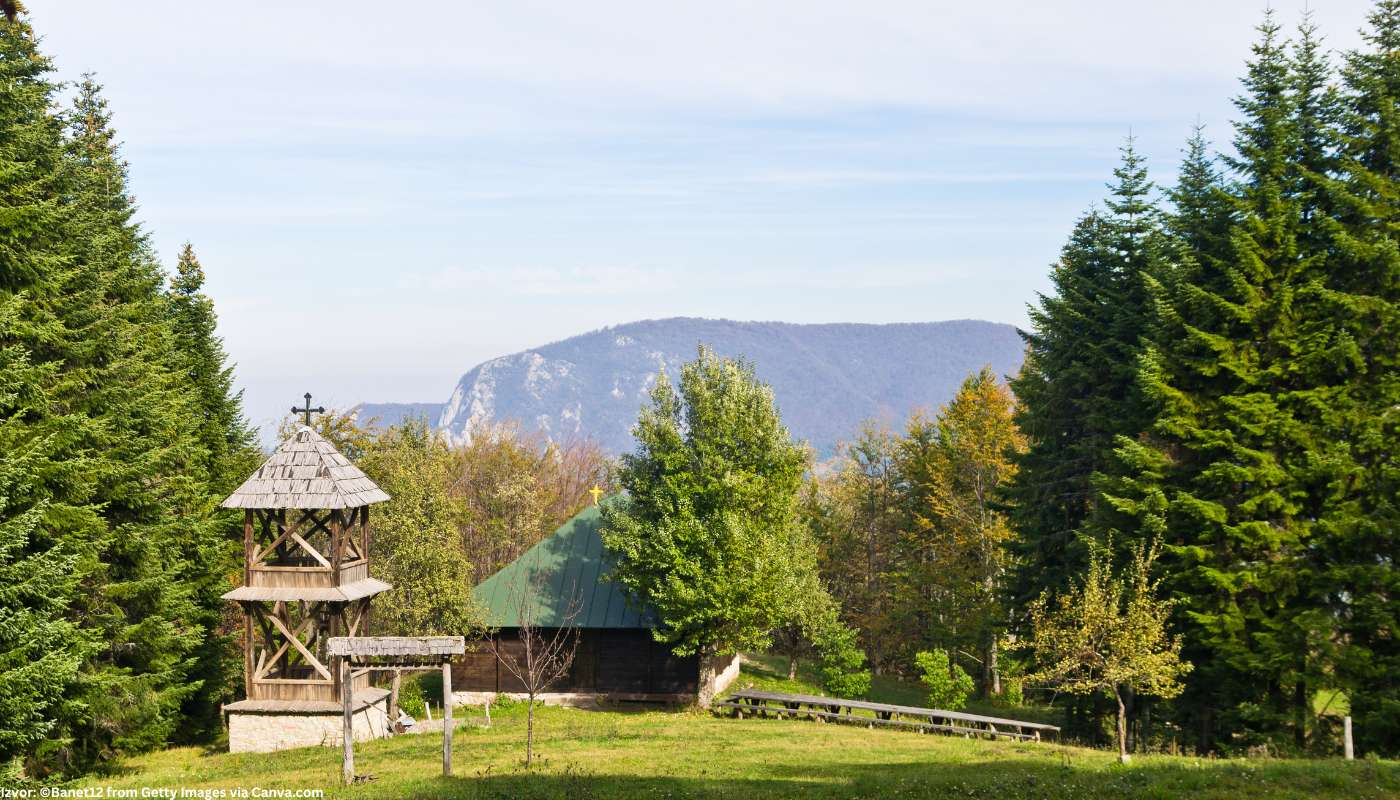
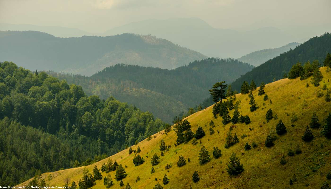
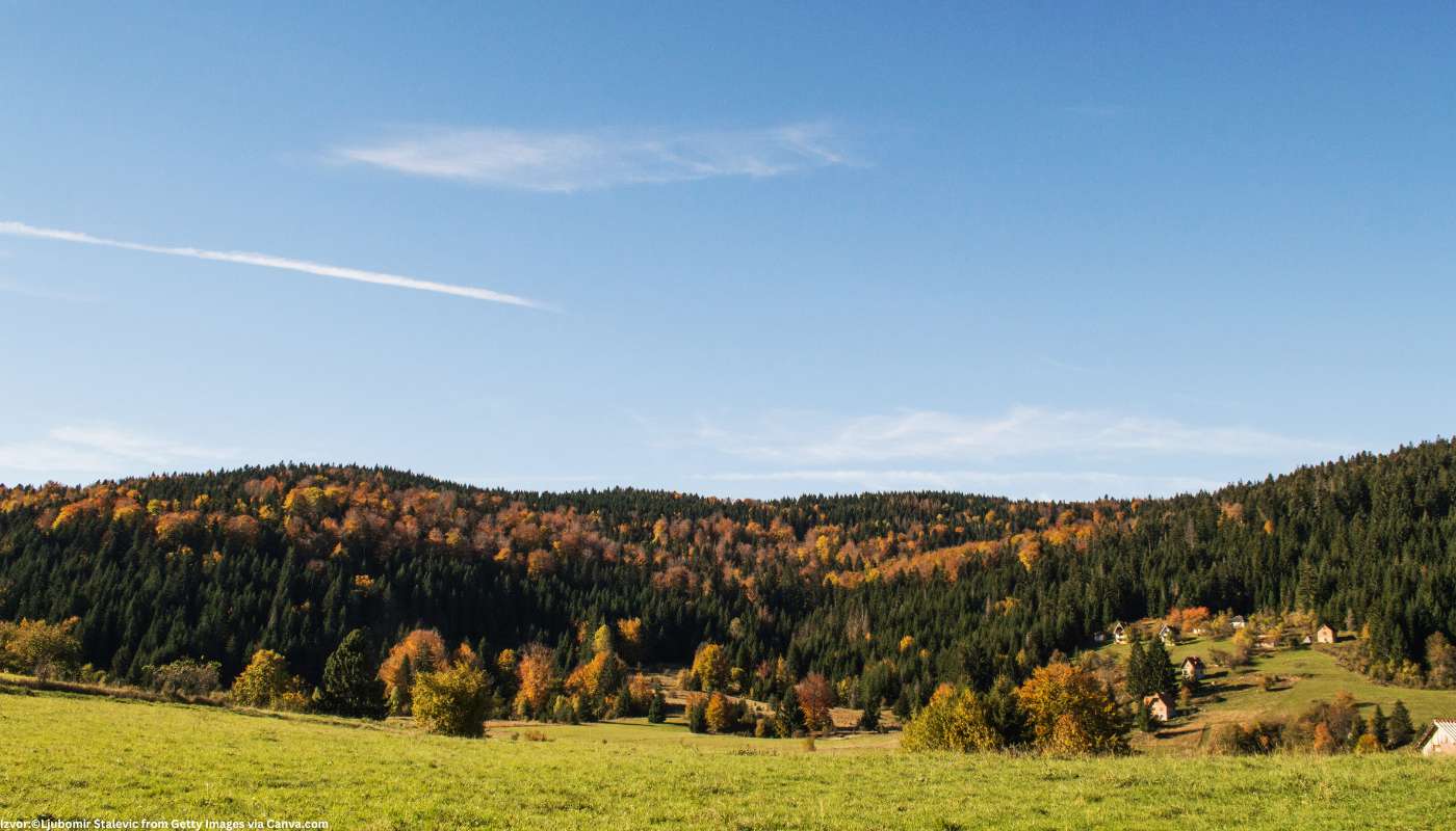
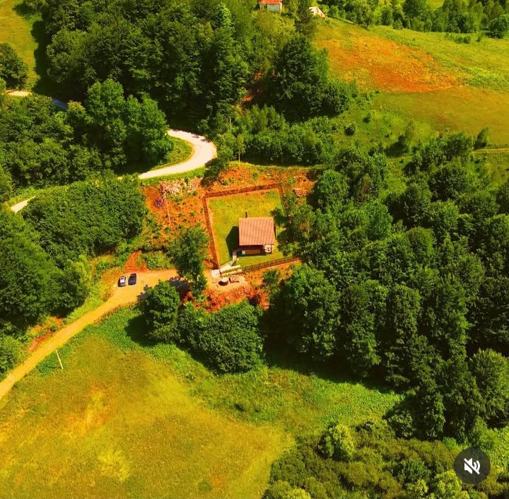
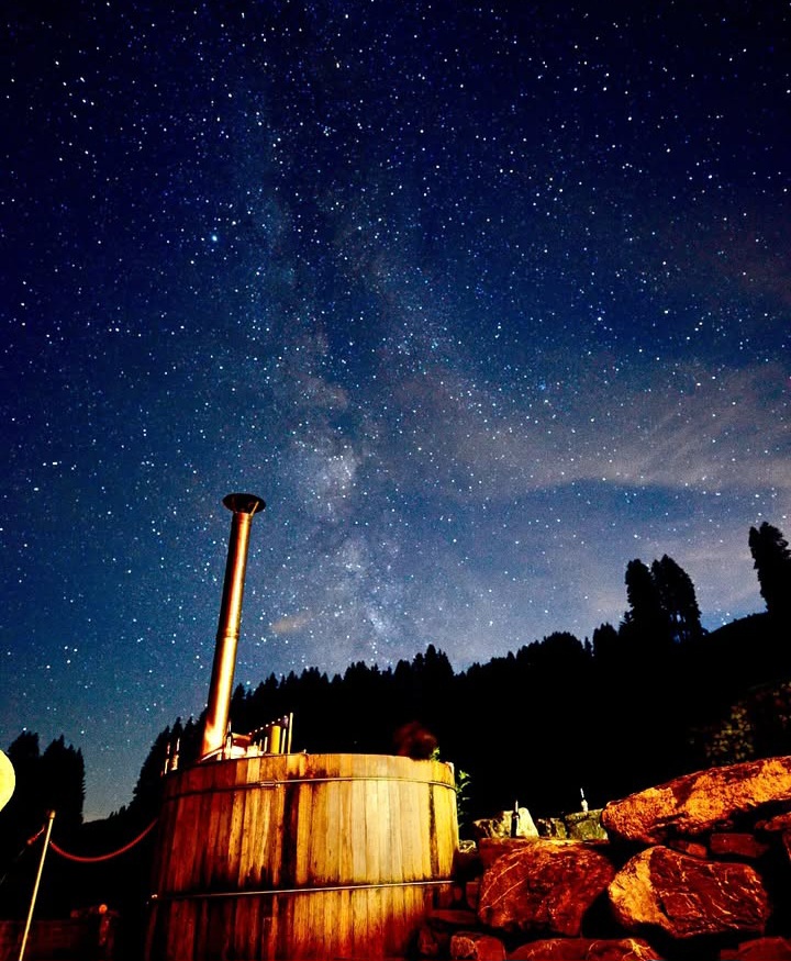
The highest peak of the Bobija mountain is called Tornička Bobija, and its height is 1272 meters. This mountain in western Serbia is adorned with coniferous and beech forests, huge pastures and glades. The population in these areas is mostly engaged in animal husbandry and fruit growing. Quality milk, cheese and cream are produced in the surrounding villages, so we advise you to try some of these products when you arrive. As for fruit growing, the most common fruits are plums and raspberries. Raspberry production is the main source of income for the population in the villages on the slopes of Mount Bobija.
How to get to the mountain?
- If you are driving from Belgrade, you will travel to Bobija Mountain in 2 hours and 45 minutes (via A2).
- From Bajina Basta you can reach this mountain in an hour and twenty minutes drive (via Route 170).
Additional information
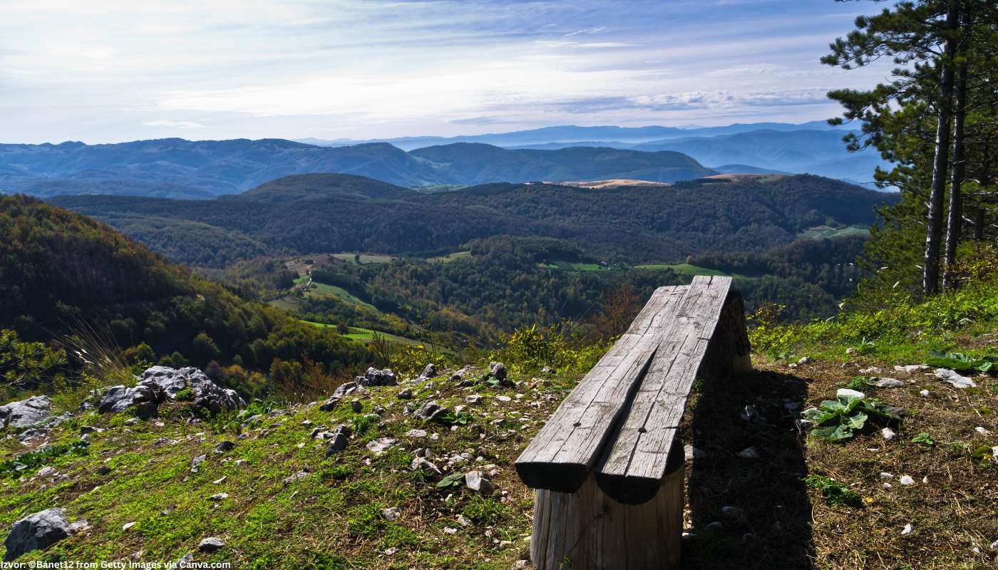
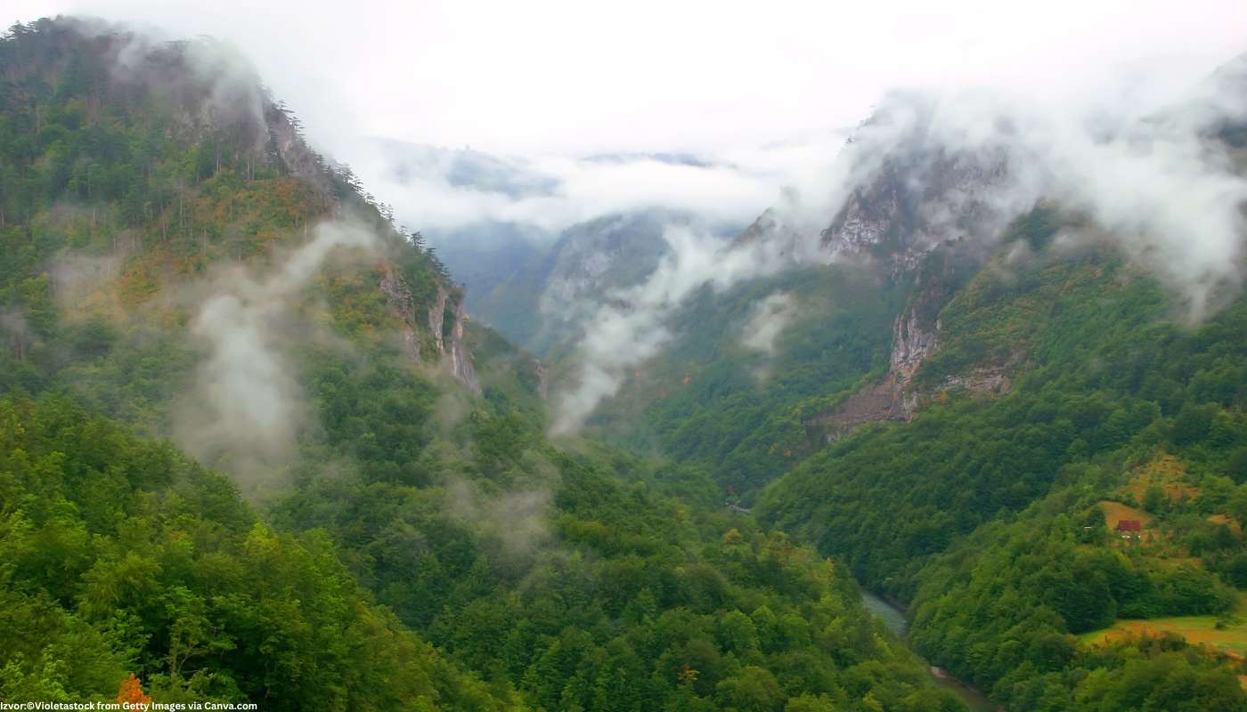
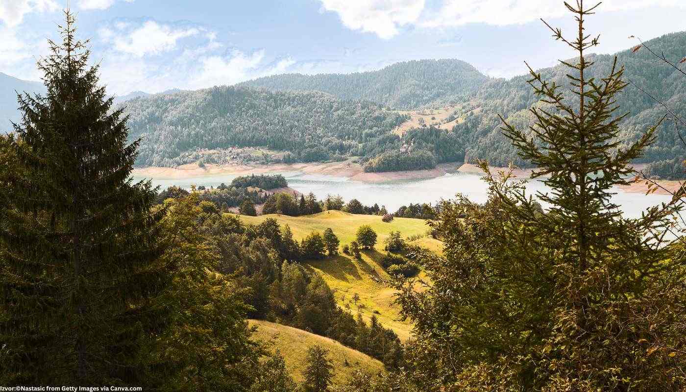
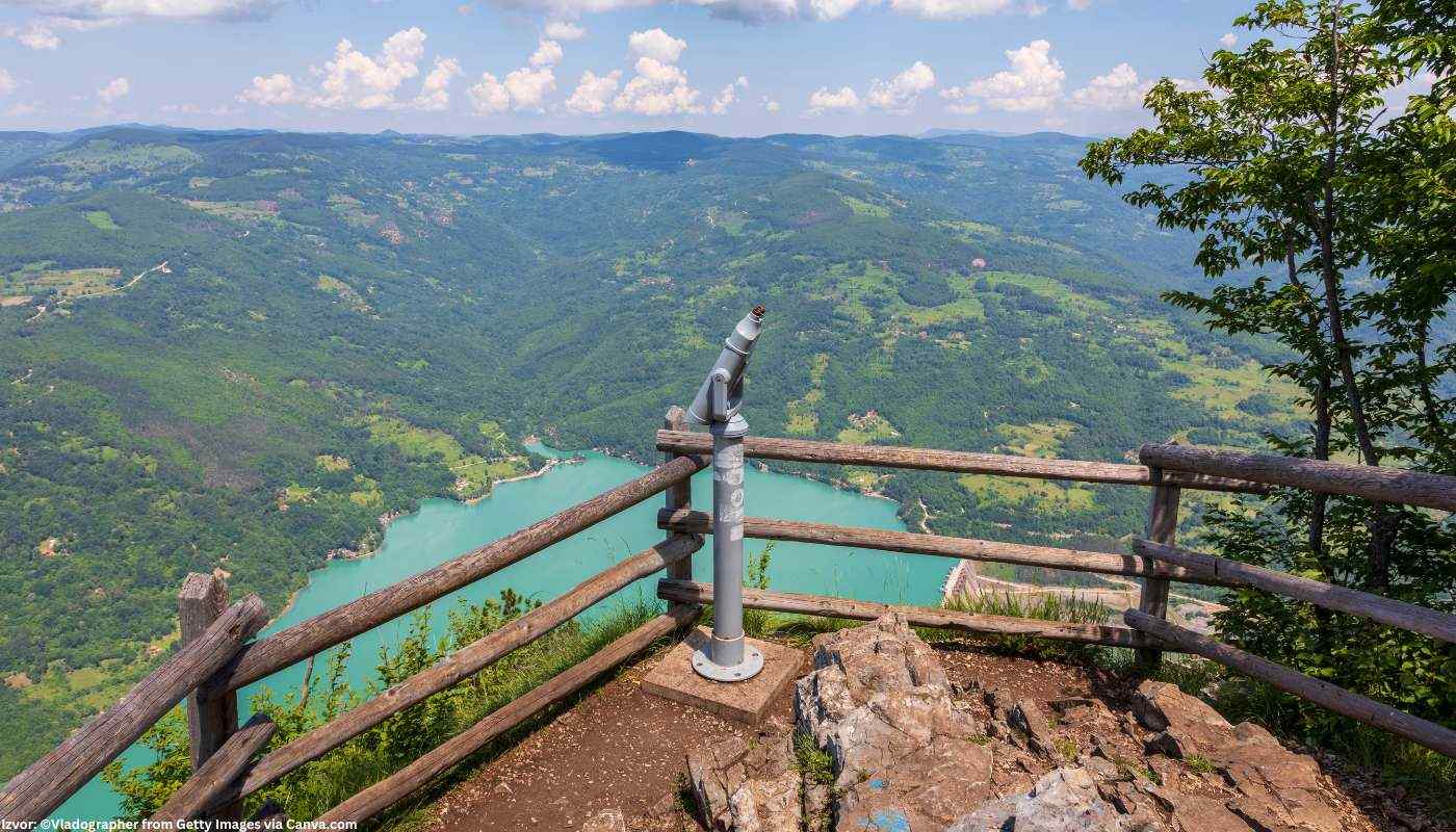
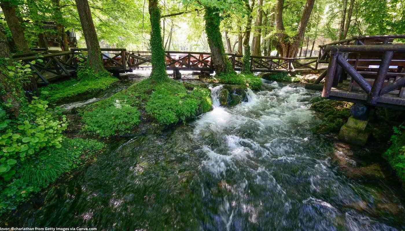
Mount Bobija abounds in strong and cold springs of drinking water, among which the most famous is the spring "Dobra voda". Beech and anthropogenic coniferous forests predominate on this mountain, and you will be able to notice numerous lookouts, as well as the canyons of the rivers: Trešnjica, Tribuće and Ljubovidje. In addition, Mount Bobija is a habitat for griffon vultures - the largest birds in Europe.
Mount Bobija abounds in strong and cold springs of drinking water, among which the most famous is the spring "Dobra voda". Beech and anthropogenic coniferous forests predominate on this mountain, and you will be able to notice numerous lookouts, as well as the canyons of the rivers: Trešnjica, Tribuće and Ljubovidje. In addition, Mount Bobija is a habitat for griffon vultures - the largest birds in Europe.
