


Show all photos
Back
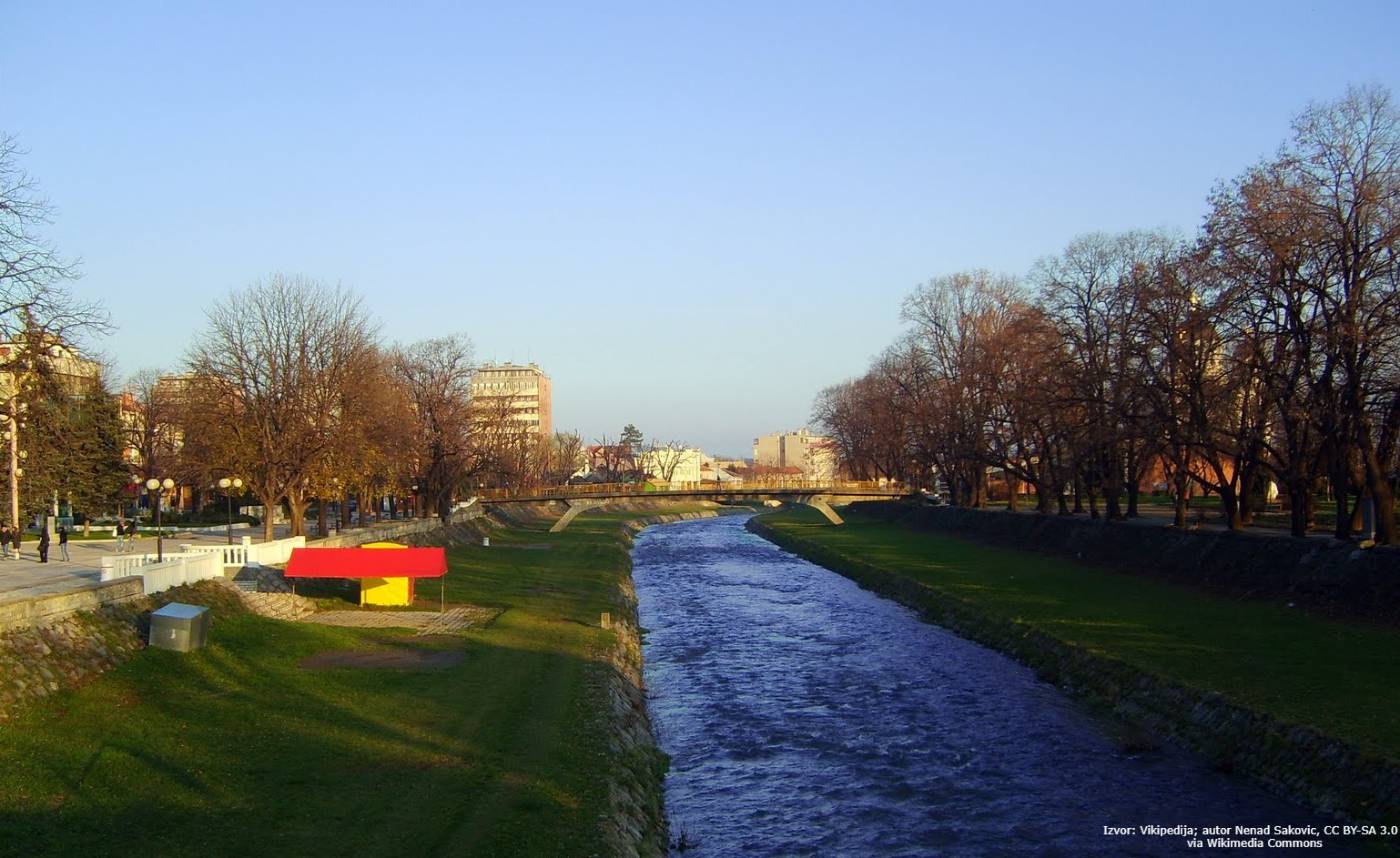
Kolubara
Share this attraction
Back
Kolubara
Valjevo
Kolubara - the most important information
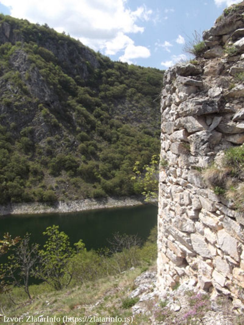
This river of western Serbia is a right tributary of the Sava and its place of origin is the city of Valjevo. It belongs to the Black Sea basin and has a large number of tributaries. The origin of the name has not been determined exactly, but it is believed that it originated from the name Kuluk-bara. In the First World War, a battle took place in Kolubara between the army of the Kingdom of Serbia and Austria-Hungary. In its course in Valjevo, it passes by cultural and historical monuments, parks and bars from which one can enjoy the view. Although the river itself is not navigable, it is important for transport in Serbia.
The origin of Kolubara
Obnica that springs at the foot of the mountain Medvednik and Jablanica from the mountain Jablanik merge on the territory of Valjevo, at 193 meters above sea level, and form Kolubara. It is 125 kilometers long and its basin, which is rich in lignite deposits, covers 3,600 square meters. It belongs to the rivers with a rain-snow regime. The Kolubara basin is divided into upper and lower basins. On its left side are its tributaries Rabas, Kladnica and Tamnava, and on its right Lepenica, Ribnica, Gradac, Banja, Toplica, Ljig, Beljanica, Pestan and Turija. Due to the wide and winding riverbed, Kolubara often flooded its valleys before regulation. Gradac is acquired as one of the larger tributaries, which also has the most beautiful valley. At their estuary is the monastery Celije.
In its lower course, Kolubara narrows between Jerina's town and Ostrikovac. Lignite deposits are especially present in the Tamnava basin, which is used for the Nikola Tesla power plant near Obrenovac. Due to the height of the basin, which is only 206 meters, the lowlands prevail in it. The hills, low and medium high mountains are present only in the upper basin. Kolubara flows into the Sava near Obrenovac, where it is 45 meters wide and no more than 2 meters deep. The unstable water level of Kolubara, with sudden and large fluctuations in water level and flow, makes it difficult to solve problems with water supply, protection against floods, torrents and erosion. Sudden melting of the snow and extensive precipitation cause floods in the alluvial parts of Kolubara and its large tributaries. Hydromelioration works performed downstream from the estuary of Ljig prevent and reduce the consequences of floods. Kolubara is rich in various types of fish, especially perch and chub. In the valley of Kolubara are roads Belgrade-Valjevo, Ibar highway and railway Belgrade-Bar.
The most beautiful places by Kolubara
Kolubara in Valjevo was especially important for the creation of the first settlements and the artisan quarter Tesnjar, which is today one of the main promenades and tourist-popular parts of Valjevo. In its course Kolubara passes by:
- Parks: Pecina, Park near Kolubara and Vida Jocic Park are ideal places for relaxation, walks with family and friends and they also have a beautiful view of the river
- Valjevo National Museum
- Valjevo Cultural Center
- Temple of St. Nectarios of Aegina
- Monument and Square Zivojin Misic
Along the river is a large number of restaurants where you can refresh yourself with a drink of your choice or taste food from various cuisines. Among them are: restaurant Hemingway, MMFAvantura kafe, Restaurant Jefimija, Kay Reke Kolubare, pastry shop Rome.
How to get to Kolubara?
Well-developed city transport in Valjevo can take you to the immediate vicinity of one of the quays near Kolubara, from where you can continue on foot. The closest stations to Kolubara are Narcis, Valjevo AS and Valjevo Gimnazija. If you come from the outskirts of the city, taxi services are always available.
- Bus lines: C1, 2, 3, 4
- Taxi stations: City Taxi Valjevo: 014 / 291-129, Pink Taxi Valjevo: 014 / 292-929, City Taxi Valjevo: 014 / 354-2222, Kula Taxi: 014 / 290-290
Location
More places like this

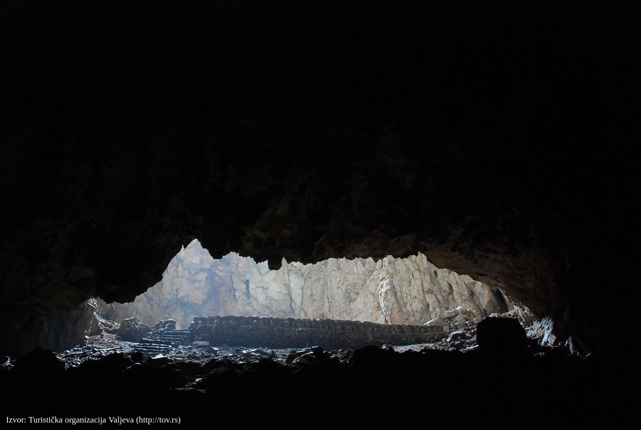

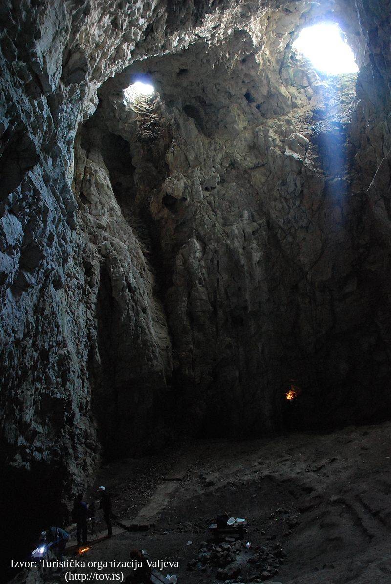
Petnička pećina
Valjevo

Jerinin grad
Valjevo


Tešnjar
Valjevo


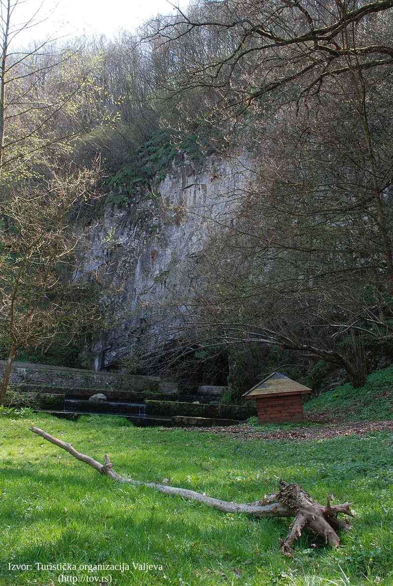
Taorska vrela
Valjevo
·
Surrounding Places

Muselimov konak
Valjevo

Spomenik Vuku Karadžiću
Valjevo

Spomenik Milovanu Glišiću
Valjevo

Spomenik vojvodi Živojinu Mišiću
Valjevo
Find nearby accommodations


Learn more about this destination
Discover the beauty of the destination through blogs that highlight the most famous landmarks, hidden gems, and provide travel tips for visiting this destination. Embark on an adventure through the stories of experienced travelers.

Your guide to the flawless travel experience